
Interactive Visual Data Communication
Static maps are a thing of the past. To empower publishers, NGOs, and travel operators with better visual storytelling tools, I developed the SVG Map by Smjrifle (originally scoped alongside Saedi Works).
Technical Capabilities
The plugin allows WordPress administrators to deploy highly interactive, clickable SVG maps without writing a single line of code. It focuses deeply on performance and user engagement:
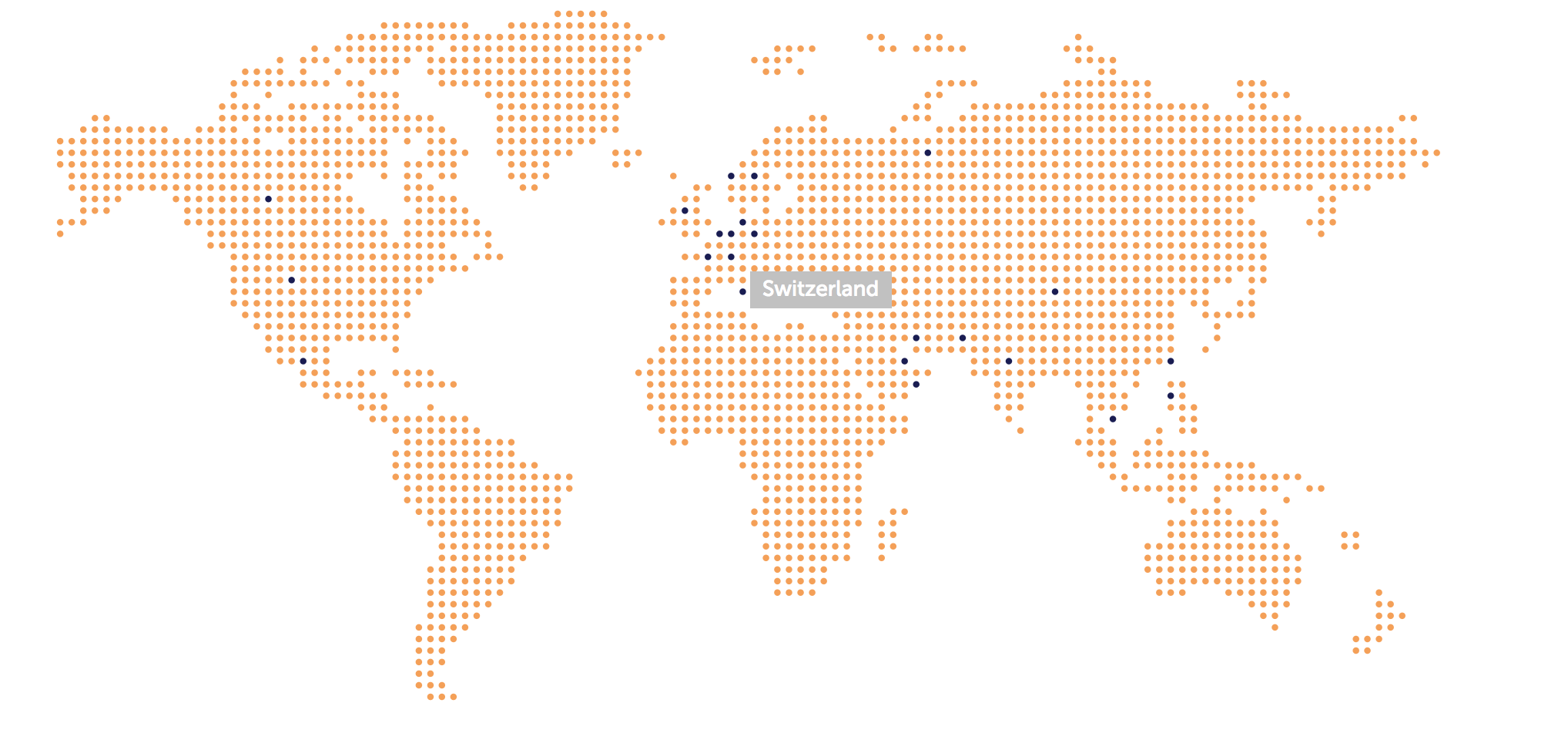
- Dynamic Point Plotting: Admins can drop selectable points across vector maps using an intuitive backend interface.
- Interactive Tooltips: Each geographic node instantly serves rich popup descriptions upon hover or click, perfect for displaying region-specific stats, branch locations, or travel itineraries.
- Zero-Dependency Performance: Engineered to inject clean markup directly into the DOM, avoiding heavy external charting libraries to maintain perfect PageSpeed scores.